Weather Forecasts & Live Reports
About Gympie (Mt Kanigan) Radar
Geographical Situation
The radar is located on top of an isolated cluster of hills, approximately 27km NNW of Gympie, some two kilometres west of the Bruce Highway near Glenwood. The Great Dividing Range is located about 40 km west of the radar and runs from the NNW to the SSE. The radar has a good view of the coastal plains from the Town of 1770 in the NNW to Beenleigh, southeast of Brisbane. The view to the west is only minimally reduced by the Great Dividing Range with good coverage extending inland to Monto, Chinchilla, Dalby and Toowoomba. Meteorological Aspects
The radar is ideally sited to provide meteorological coverage for the coast between Gladstone and Brisbane, and the adjoining hinterland. During summer, Tropical Cyclones can be effectively tracked as they approach the coast, or as rain depressions approach from the northern interior. Similarly, thunderstorms that develop over the Great Dividing Range can be monitored and tracked. Non-meteorological aspects
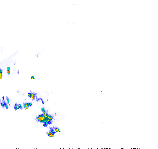
Processing of the radar signals removes most, but not all, ground clutter reflections from hills, buildings and other stationary solid objects. This usually appears as small patches of sometimes intense reflectivity, mostly close to the radar and near high ground within view of the radar. In the presence of significant temperature inversions these may become more frequent or may be seen at greater distances from the radar. Strong winds may also increase the amount of ground clutter from hills due to tree movement. Large container ships may also be visible from time. During strong winds, sea clutter may be noticeable in the waters around the southern part of Fraser Island, both in the open ocean and in the waters between the island and the mainland. Sea Clutter may be distinguished from rain echoes because it does not move with the wind and stops abruptly at the coastline.


