Weather Situation for Victoria
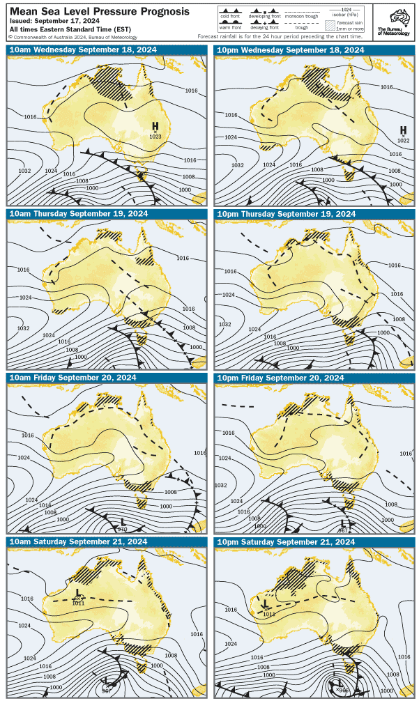
A ridge will persist to the south of Victoria until Friday with a new trough starting to move across Victoria on Saturday. A strong high pressure system extends a ridge into western districts in the wake of the trough.
Weather Situation for Gippsland Lakes
A ridge will persist to the south of Victoria until Friday with a new trough starting to move across Victoria on Saturday. A strong high pressure system extends a ridge into western districts in the wake of the trough.
Weather Situation for Port Phillip and Western Port
A ridge will persist to the south of Victoria until Friday with a new trough starting to move across Victoria on Saturday. A strong high pressure system extends a ridge into western districts in the wake of the trough.
Port Phillip Forecast
Local Waters Forecast for Port Phillip
Issued: Thursday, 29 January 10:00AM
Forecast for Thursday, 29 January
Winds: Southeast to southwesterly 15 to 20 knots tending east to southeasterly 10 to 15 knots in the late evening.
Seas: Below 1 metre.
Swell:
Weather: Partly cloudy.
Forecast for Friday, 30 January
Winds: South to southeasterly 10 to 15 knots becoming variable below 10 knots in the morning then becoming southerly 10 to 15 knots in the middle of the day. Winds reaching up to 20 knots in the north in the late afternoon.
Seas: Below 1 metre.
Swell:
Weather: Partly cloudy.
Forecast for Saturday, 31 January
Winds: South to southwesterly about 10 knots increasing to 15 to 20 knots during the day.
Seas: Around 1 metre, increasing to 1 to 1.5 metres in the north during the afternoon or evening.
Swell:
Weather: Cloudy. The chance of fog in the north with reduced visibility.
Forecast for Sunday, 1 February
Winds: South to southwesterly 20 to 30 knots.
Seas: 1 to 1.5 metres, increasing to 1 to 2 metres during the morning.
Swell:
Weather: Cloudy.
Western Port Forecast
Local Waters Forecast for Western Port
Issued: Thursday, 29 January 10:00AM
Forecast for Thursday, 29 January
Winds: Southeasterly 10 to 15 knots, reaching up to 20 knots west of Sandy Point during the afternoon and evening. Winds turning easterly in the evening.
Seas: Below 0.5 metres, increasing to 1 to 1.5 metres west of Sandy Point during the afternoon.
Swell:
Weather: Partly cloudy.
Forecast for Friday, 30 January
Winds: East to southeasterly about 10 knots tending south to southeasterly 10 to 15 knots in the middle of the day.
Seas: Below 1 metre.
Swell:
Weather: Cloud clearing.
Forecast for Saturday, 31 January
Winds: Variable below 10 knots becoming southwesterly 10 to 15 knots during the day.
Seas: Below 1 metre.
Swell:
Weather: Partly cloudy.
Forecast for Sunday, 1 February
Winds: Southwesterly 15 to 25 knots tending southerly during the evening.
Seas: 1 to 1.5 metres, increasing to 1 to 2 metres during the morning.
Swell:
Weather: Cloudy.
Gippsland Lakes Forecast
Local Waters Forecast for Gippsland Lakes
Issued: Thursday, 29 January 10:00AM
Forecast for Thursday, 29 January
Winds: Easterly about 10 knots increasing to 15 to 20 knots in the middle of the day.
Swell:
Weather: Partly cloudy.
Forecast for Friday, 30 January
Winds: Easterly 10 to 15 knots becoming southeasterly about 10 knots in the middle of the day.
Swell:
Weather: Partly cloudy.
Forecast for Saturday, 31 January
Winds: Variable about 10 knots becoming south to southeasterly 10 to 15 knots during the afternoon then tending south to southwesterly during the evening.
Swell:
Weather: Cloudy. The chance of fog with reduced visibility. The chance of a thunderstorm in the afternoon and evening.
Forecast for Sunday, 1 February
Winds: Southwesterly 15 to 25 knots.
Swell:
Weather: Partly cloudy. 50% chance of showers. The chance of a thunderstorm in the morning.
Port Phillip and Western Port Forecast
Local Waters Forecast for Port Phillip and Western Port
Issued: Thursday, 29 January 10:00AM
Weather Situation for Victoria
A ridge will persist to the south of Victoria until Friday with a new trough starting to move across Victoria on Saturday. A strong high pressure system extends a ridge into western districts in the wake of the trough.
West Coast: SA-VIC Border to Cape Otway Forecast
Local Waters Forecast for West Coast: SA-VIC Border to Cape Otway
Issued: Thursday, 29 January 10:00AM
Forecast for Thursday, 29 January
Winds: Southeasterly 10 to 15 knots, reaching up to 20 knots in the west in the late morning.
Seas: 1 to 1.5 metres, decreasing to 1 metre around midday.
Swell: Southwesterly 1.5 to 2 metres.
Weather: Cloudy.
Forecast for Friday, 30 January
Winds: Southeasterly 10 to 15 knots.
Seas: Around 1 metre.
Swell: Southwesterly 1.5 metres inshore, increasing to 1.5 to 2 metres offshore.
Weather: Partly cloudy.
Forecast for Saturday, 31 January
Winds: Southeasterly 10 to 15 knots turning south to southwesterly 15 to 20 knots during the morning.
Seas: Around 1 metre.
Swell: Southwesterly 1.5 to 2 metres, decreasing to 1.5 metres during the afternoon.
Weather: Cloudy. The chance of fog with reduced visibility.
Central Coast: Cape Otway to Wilsons Promontory Forecast
Local Waters Forecast for Central Coast: Cape Otway to Wilsons Promontory
Issued: Thursday, 29 January 10:00AM
Forecast for Thursday, 29 January
Winds: Easterly 15 to 25 knots.
Seas: Around 1 metre, increasing to 1 to 2 metres around midday.
Swell: Southwesterly 1 to 1.5 metres.
Weather: Cloudy.
Forecast for Friday, 30 January
Winds: Easterly 15 to 20 knots turning southeasterly 10 to 15 knots in the middle of the day.
Seas: 1 to 2 metres, decreasing to 1 metre during the morning.
Swell: Southwesterly around 1 metre, increasing to 1.5 metres in the far west.Easterly around 1 metre.
Weather: Partly cloudy.
Forecast for Saturday, 31 January
Winds: East to southeasterly 10 to 15 knots shifting southwesterly 15 to 20 knots during the day.
Seas: Around 1 metre, increasing to 1 to 1.5 metres in the far west during the afternoon or evening.
Swell: Southwesterly around 1 metre, increasing to 1 to 1.5 metres in the west.
Weather: Cloudy. The chance of fog with reduced visibility.
Central Gippsland Coast: Wilsons Promontory to Lakes Entrance Forecast
Local Waters Forecast for Central Gippsland Coast: Wilsons Promontory to Lakes Entrance
Issued: Thursday, 29 January 10:00AM
Forecast for Thursday, 29 January
Winds: Easterly 15 to 20 knots, reaching up to 25 knots in the west during the afternoon and evening.
Seas: 1 to 1.5 metres, increasing to 1.5 to 2 metres in the west around midday.
Swell: East to southeasterly around 1 metre.
Weather: Cloudy.
Forecast for Friday, 30 January
Winds: Easterly 15 to 20 knots decreasing to about 10 knots in the late evening.
Seas: 1 to 1.5 metres, decreasing to 1 metre during the morning.
Swell: Easterly around 1 metre.
Weather: Partly cloudy.
Forecast for Saturday, 31 January
Winds: East to southeasterly about 10 knots tending south to southwesterly 10 to 15 knots during the afternoon then tending west to southwesterly 15 to 20 knots during the evening.
Seas: Below 1 metre.
Swell: Easterly below 1 metre.
Weather: Cloudy. The chance of fog with reduced visibility. The chance of a thunderstorm in the evening.
East Gippsland Coast: Lakes Entrance to 60nm east of Gabo Island Forecast
Local Waters Forecast for East Gippsland Coast: Lakes Entrance to 60nm east of Gabo Island
Issued: Thursday, 29 January 10:00AM
Forecast for Thursday, 29 January
Winds: Easterly 15 to 20 knots, reaching up to 25 knots inshore in the evening.
Seas: 1 to 1.5 metres, increasing to 1 to 2 metres inshore during the afternoon.
Swell: Southeast to southwesterly below 1 metre, increasing to 1 to 1.5 metres in the east.Southeasterly around 1 metre, increasing to 1 to 1.5 metres in the far east by early evening.
Weather: Partly cloudy.
Forecast for Friday, 30 January
Winds: East to northeasterly 15 to 20 knots.
Seas: 1 to 1.5 metres, decreasing to 1 metre during the morning.
Swell: Easterly 1 to 1.5 metres.Southerly around 1 metre.
Weather: Partly cloudy.
Forecast for Saturday, 31 January
Winds: Northwest to northeasterly 10 to 15 knots tending south to southwesterly during the day then tending west to southwesterly 15 to 20 knots during the evening.
Seas: Around 1 metre.
Swell: Southerly below 1 metre.
Weather: Partly cloudy. The chance of fog with reduced visibility. The chance of a thunderstorm in the afternoon and evening.