SA: Additional closure to enhance cuttlefish protection
The State Government has announced an extension to the closure area currently in place in Spencer Gulf in a move to further protect the iconic Giant Cuttlefish ahead of the 2012 breeding season.
The temporary closure is effective immediately and will see a ban on recreational and commercial fishing for all cephalopods (including cuttlefish, squid and octopus) in the extension area, until 30 September 2012.
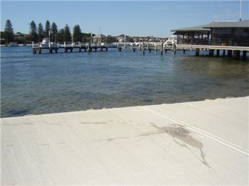
Commencing from the Point Lowly Lighthouse and following the eastern boundary of the existing closure area, the temporary closure area will extend 100 m offshore from the high water mark and follow the coastline to a point 100 m south of the boat ramp breakwater near Point Lowly. See map overpage.
Executive Director for PIRSA Fisheries and Aquaculture, Professor Mehdi Doroudi, said the additional closure was a precautionary measure to ensure a maximum level of protection for Giant Cuttlefish aggregation while additional monitoring is undertaken.
“Given the current management arrangements in place, it’s very unlikely that commercial or recreational fishing poses a threat to Giant Cuttlefish populations,” Professor Doroudi said.
“However, this extension covers an identified breeding ground for Giant Cuttlefish, so it’s important that we take this precautionary step and offer greater protection to the species while information is being gathered to better understand the population.
“This is in addition to steps we are taking to convert the existing temporary closure in False Bay to become a permanent and ongoing closure.”
Professor Doroudi said research was currently underway by the South Australian Research and Development Institute (SARDI) to investigate fluctuations in South Australia’s Giant Cuttlefish population.
“Anecdotal evidence from the community has indicated that cuttlefish numbers have declined in recent years, however to date we have not had access to regular and robust scientific data to confirm that trend,” he said.
“SARDI is currently working on a project to establish the foundation for a long term, organised monitoring program that will provide access to accurate data on how the population fluctuates.
“This will involve regular surveys during the 2012 spawning season to develop a standard methodology for how the data is collected an interpreted.”
More information about the closure extension is available at www.pir.sa.gov.au/fisheries
With the 2012 breeding season expected to commence shortly, members of the public are asked to help monitor the area to ensure compliance with the closure.
Suspicious or illegal fishing behaviour can be reported to FISHWATCH on 1800 065 522. Callers can choose to remain anonymous.
Map of closure extension area
The temporary closure extension includes all waters bound by a line commencing from the Point Lowly Lighthouse and following the eastern boundary of the existing closure area to 100 m offshore from the high water mark and then following the coastline to a point 100 m south of the boat ramp breakwater near Port Lowly.